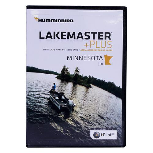
Minnesota Plus - Version 2.0 Map Card w-SD adapter, Waterproof Carrying Case
Minnesota Plus - Version 2.0 Map Card w/SD adapter, Waterproof Carrying Case
Manufacture ID: 600021-6
The Minnesota Plus, Version 2.0 map card has many standard and high definition lake maps expanding across the state. The Plus series allows for aerial images to overlay onto high definition waters, in addition to existing LakeMaster features.
Now you have the ability to use quality aerial photography to view the entry and exits of creek channels,see how far a reef or weed line extends, and pick out shallow - water rock piles, steep dropoffs or other features of the lake you've been missing from traditional maps.
- LakeMaster PLUS gives you the freedom to choose how you want to use the aerial imagery:
The Satellite - Only This layer shows only aerial imagery and no other map information.
The Satellite - Land This layer shows the LakeMaster map and the aerial imagery that extends around the body of water.
The Satellite + Contours This layer shows the aerial imagery and just the LakeMaster contours so you can still pick out those features in the water while still seeing your depth.
Includes:
- Micro card with SD adapter
- Waterproof carrying case
Specifications:
- Compatible with iPilot

